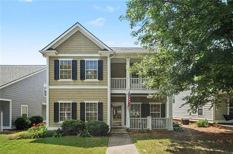
Oconee County Rail Town Near Athens
About Bogart, GA
Welcome to Bogart, a small Oconee County rail town about eight miles west of Athens, where rural acreage and highly rated schools meet easy access to the University of Georgia.
Bogart is a small city in northeast Georgia that straddles the line between Oconee and Clarke counties, about eight miles west of Athens. Its history is tied to the railroad: the settlement that grew up around a rail stop was first known as Osceola, then renamed Bogart in 1892 for a local railroad agent, and formally incorporated in 1905. For much of its history it functioned as a modest agricultural and mercantile town, with cotton gins, gristmills, and a depot serving the surrounding farms. Today the city has roughly 1,300 residents, though its Oconee County surroundings extend the community's reach considerably. What draws people to Bogart now is the combination of rural character, strong schools, and proximity to Athens. The city is part of the Oconee County School District, one of the most highly regarded systems in Georgia, and North Oconee High School sits within Bogart itself. That school reputation, together with the University of Georgia just down Highway 316, has made the area a destination for families, university employees, and professionals who want space without giving up access to jobs and culture. The landscape around Bogart remains visibly agricultural, with pastures, farms, and wooded lots interspersed among newer subdivisions. Housing runs the gamut from standard residential lots to five-acre-plus estates and working farms, giving buyers unusual flexibility in how much land they take on. Athens supplies the regional amenities — hospitals, shopping, restaurants, and SEC athletics — while Atlanta sits roughly an hour to the west. For newcomers, Bogart offers a small-town, land-rich lifestyle anchored by top-rated schools and a short commute to one of Georgia's major college communities.
Frequently Asked Questions
What county is Bogart, Georgia in?
Bogart is split between Oconee County and Clarke County, Georgia, with most of the city lying in Oconee County. It sits about eight miles west of Athens, near the county line that separates Oconee County from Athens-Clarke County.
How far is Bogart from Athens?
Bogart is roughly eight miles west of Athens and the University of Georgia, about a 15-minute drive. Residents reach Athens via Georgia Highway 316 or Highway 78, making the city a convenient base for UGA employees, students' families, and others tied to the Athens area.
What school district serves Bogart, Georgia?
Bogart is served by the Oconee County School District, which is based in nearby Watkinsville and consistently ranks among Georgia's highest-rated systems. Schools serving the Bogart area include Malcom Bridge Elementary, Malcom Bridge Middle, and North Oconee High School, which is located within Bogart.
What kind of housing is available in Bogart?
Housing in and around Bogart spans quarter-acre subdivision lots with community amenities such as pools, tennis courts, and playgrounds, up to five-acre-plus estates and working farms on the outskirts. The mix of in-town subdivisions and rural acreage gives Bogart a suburban-rural character uncommon in the Athens area.
How far is Bogart from Atlanta?
Bogart is about 65 miles from Atlanta, typically a 60-to-90-minute drive via Georgia Highway 316 or Highway 78. That distance makes Atlanta reachable for occasional commutes while keeping Bogart's small-town, rural feel intact.
City Guide
About Bogart
Real Estate & Housing
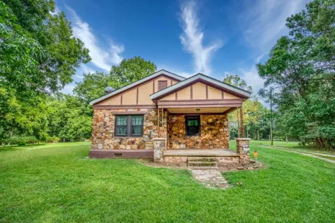
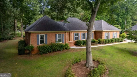
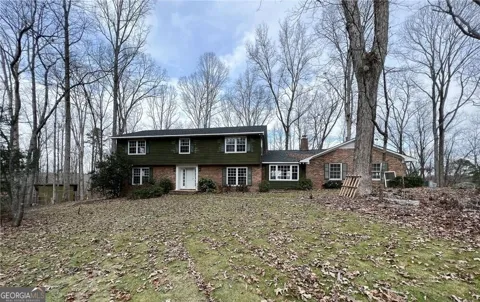
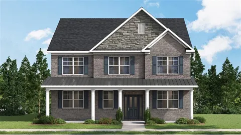
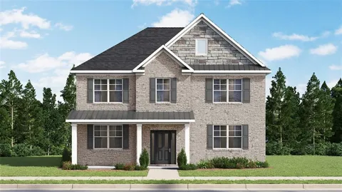
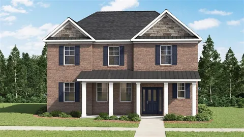
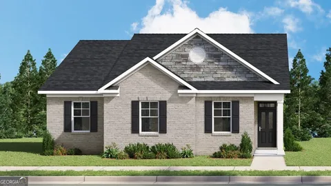
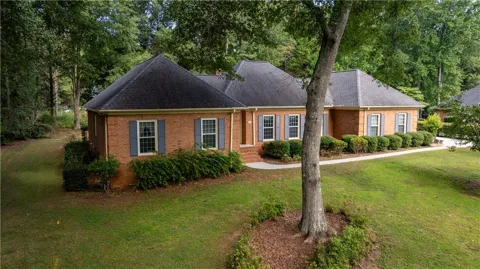
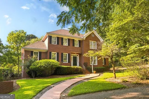
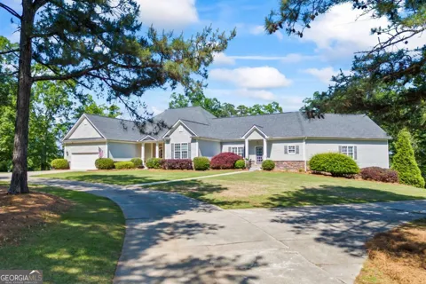
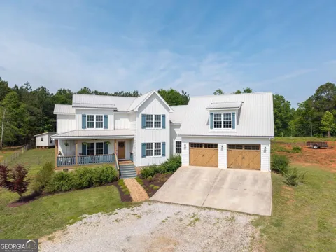
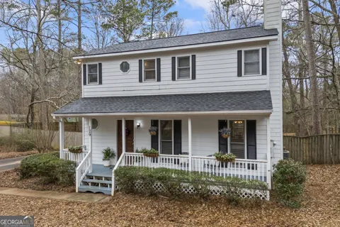
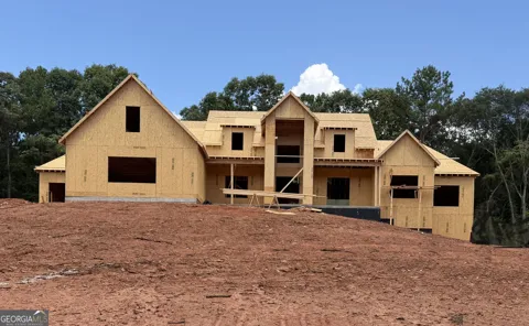
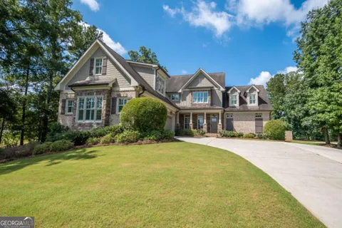
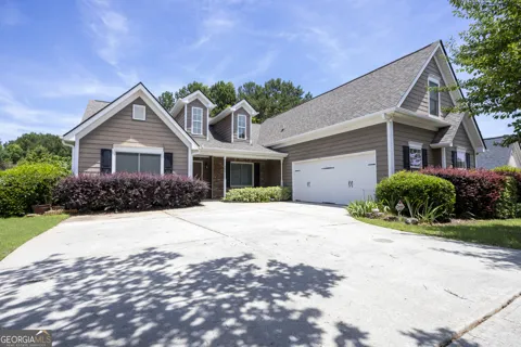
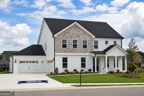
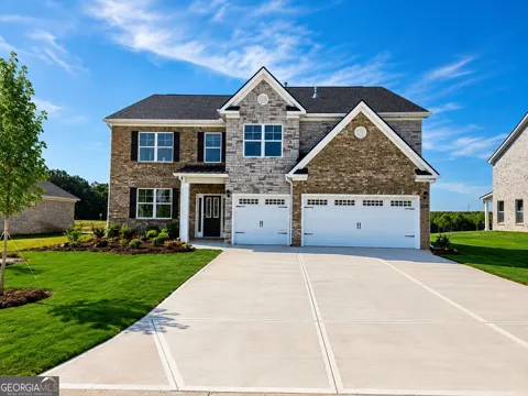
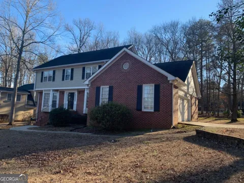
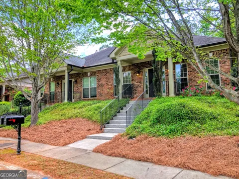
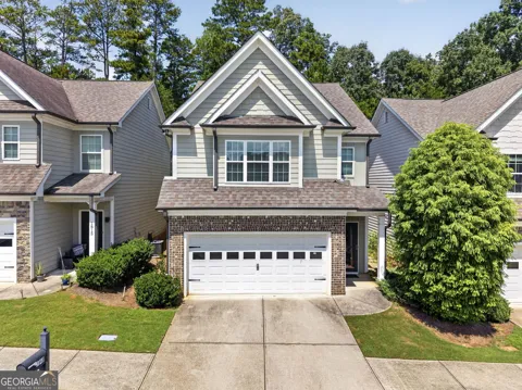
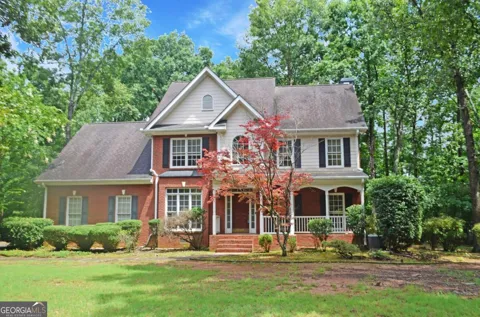
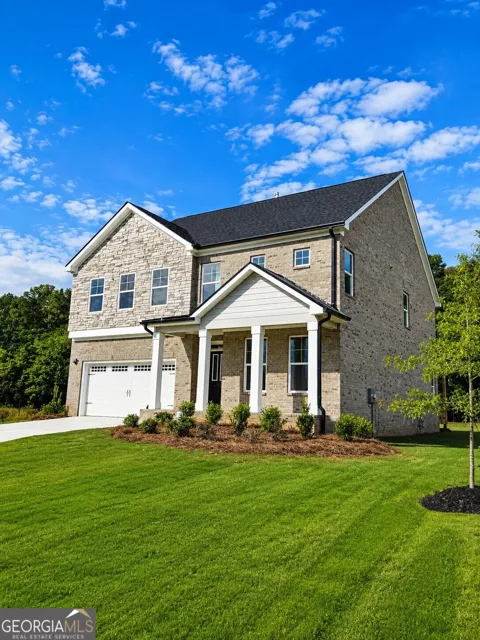
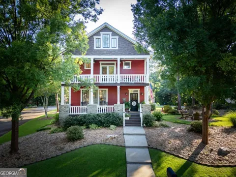
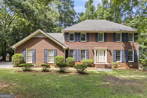
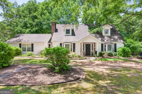
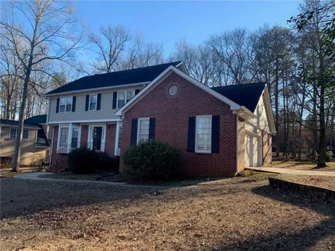
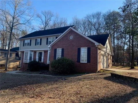
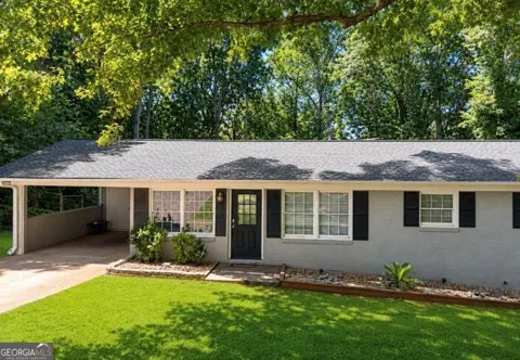
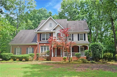
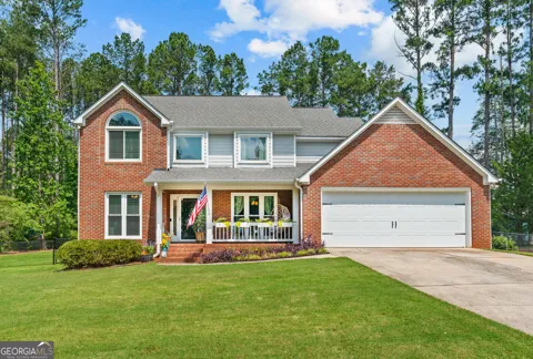
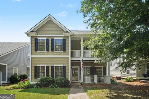
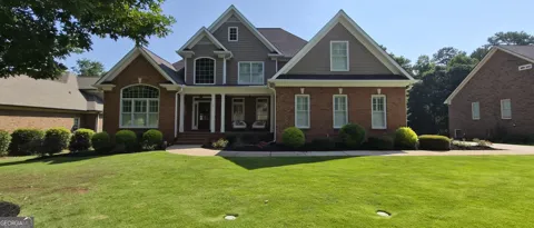
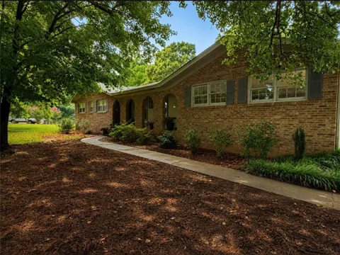
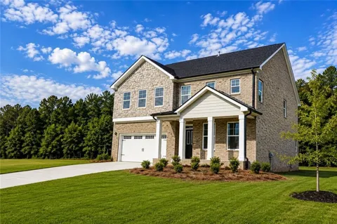
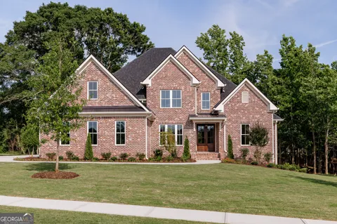
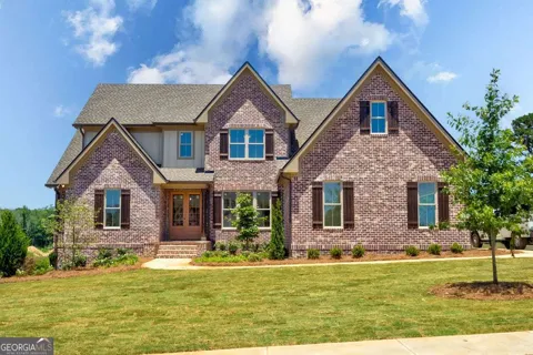
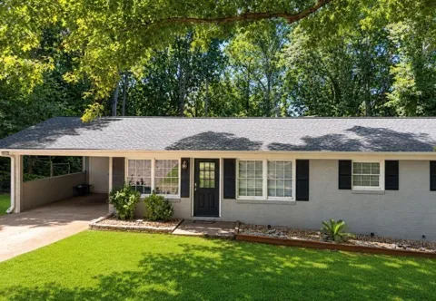
Bogart's housing market is defined by its range rather than a single style. Within the city and along its main corridors, subdivisions offer conventional single-family homes on quarter-acre to roughly half-acre lots, many with community pools, tennis courts, and playgrounds. Farther out, the pattern shifts to custom construction on wide-open farmland, with small estates commonly sitting on two acres or more and larger working farms still in agricultural use. This spread of lot sizes and home styles draws buyers who want a new-construction subdivision feel as well as those seeking acreage, privacy, and room to build — a mix that distinguishes Bogart from denser Athens-area suburbs.
Neighborhoods
Bogart is a compact community rather than a collection of large named neighborhoods, but distinct pockets have emerged along its major roads. The Malcom Bridge Road corridor, anchored by Malcom Bridge Elementary and Middle schools, mixes established subdivisions with larger wooded and pasture properties. Toward the Highway 316 and Highway 78 approaches, newer residential development and a small commercial presence cluster near the routes that carry commuters toward Athens and Atlanta. The city's edges blend almost seamlessly into Oconee County farmland, so the transition from subdivision streets to open acreage happens quickly in most directions.
Lifestyle in Bogart
Bogart pairs a quiet, rural-suburban pace with easy access to one of the Southeast's liveliest college towns. Community life centers on the schools, local churches, and seasonal gatherings such as Bogart's Fun Fest, while the surrounding countryside supports a scattering of farms, small estates, and open pasture. For dining, entertainment, music, and SEC football, Athens is a short drive east, bringing the University of Georgia's cultural amenities within easy reach. The result is a lifestyle that feels country without being isolated — residents can keep horses or acreage and still reach downtown Athens in about fifteen minutes.
Schools & Education
Bogart is served by the Oconee County School District, based in nearby Watkinsville and consistently ranked among Georgia's strongest public systems. Schools serving the Bogart area include Malcom Bridge Elementary School and Malcom Bridge Middle School, both on Malcom Bridge Road, and North Oconee High School, which is located within Bogart and enrolls roughly 1,470 students in grades 9-12. The district's reputation for academics and extracurriculars is a major driver of demand in the area, and a portion of Bogart that falls into Clarke County is instead served by the Clarke County School District in Athens. Private school options are available in Athens and Watkinsville.
Getting Around
Bogart's location makes it a practical base for commuters in two directions. Georgia Highway 316 and Highway 78 link the city to Athens, about eight miles east, and carry traffic on toward Atlanta, roughly 65 miles west. The Athens Perimeter (Loop 10) provides quick access around the Athens metro, while the University of Georgia campus and downtown Athens are reachable in about fifteen minutes. For air travel, Athens-Ben Epps Airport offers regional service and Hartsfield-Jackson Atlanta International Airport is a 60-to-90-minute drive. Most daily errands, employment, and cultural trips orient toward Athens and Watkinsville.
Parks & Recreation
Recreation in Bogart leans on Oconee County's well-developed park system and the outdoor options of the surrounding countryside. Oconee Veterans Park, a 197-acre facility within Bogart, offers walking trails, tennis courts, soccer and baseball fields, a picnic shelter, a bark park, and a 34,000-square-foot community center with an indoor walking track and fitness space. The Bogart Sports Complex adds more athletic fields for local leagues. Beyond organized facilities, residents take advantage of the rural landscape for riding, gardening, and outdoor recreation, while Athens contributes Lake Herrick, the State Botanical Garden of Georgia, and the North Oconee River Greenway within a short drive.
MARKET SNAPSHOT
The Market at a Glance
How homes have been selling here over the last 90 days.
Price & Sales History
Market data reflects closed sales over the last 90 days and is provided for informational purposes.
Zip Codes
BROWSE BY ZIP
Browse listings by postal code in this area.
- Grid
- Map
- List