Appling County Seat
About Baxley, GA
Welcome to Baxley, the seat of Appling County, a South Georgia city on the Altamaha River with a timber and agricultural heritage and the Hatch nuclear plant nearby.
Baxley is a city and the county seat of Appling County, in southeastern Georgia. It sits along U.S. Route 1 and near the Altamaha River, one of the largest free-flowing rivers on the East Coast. The city was incorporated in 1875 and named for Wilson Baxley, an early settler from coastal North Carolina who operated a general store in the settlement before its formal founding. The arrival of the Macon and Brunswick Railroad in the 1870s prompted the relocation of the county seat from nearby Holmesville and fueled growth built on timber, naval stores, and agriculture; the county was once known as the 'Turpentine Capital of the World.' The 2020 census counted 4,942 residents. Baxley's economy today is anchored by industry, most notably the Edwin I. Hatch Nuclear Power Plant operated by Georgia Power on the Altamaha River, the area's largest employer, along with a sawmill operated by International Forest Products and the Tri-County Industrial Park on the city's outskirts. The surrounding countryside of farmlands and timberlands, together with the Altamaha River and nearby lakes, defines the area's character. Baxley functions as a regional hub for shopping, medical services, and commerce in Appling County, and its downtown and courthouse square anchor public life. U.S. Route 1 links the city to the larger communities of southeast Georgia, and its position on the coastal plain places the coast and the Altamaha's vast floodplain forests within driving distance. Residents enjoy a slower pace and close-knit community typical of South Georgia's county seats, with outdoor recreation on the river and in nearby forests within easy reach.
Frequently Asked Questions
What county is Baxley, Georgia in?
Baxley is the county seat of Appling County, in southeastern Georgia. The city is located along U.S. Route 1 and near the Altamaha River, and it functions as the commercial and governmental hub for the county.
What is Baxley, Georgia named for?
Baxley was named for Wilson Baxley, an early settler from coastal North Carolina who operated a general store in the settlement before the town was formally incorporated in 1875 as a city.
What is the largest employer in Baxley, Georgia?
The Edwin I. Hatch Nuclear Power Plant, operated by Georgia Power on the Altamaha River north of the city, is the area's largest employer. A sawmill operated by International Forest Products also employs workers locally.
What school district serves Baxley, Georgia?
Baxley is served by the Appling County School District, which operates Appling County Elementary, Appling County Middle, and Appling County High School. The district also participates in Georgia's HOPE Scholarship program.
What river is near Baxley, Georgia?
The Altamaha River, one of the largest free-flowing rivers on the East Coast, flows near Baxley and offers fishing, kayaking, canoeing, and wildlife viewing. Moody Forest Natural Area lies nearby.
City Guide
About Baxley
Real Estate & Housing
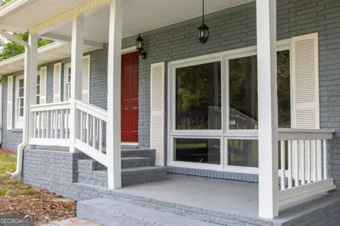
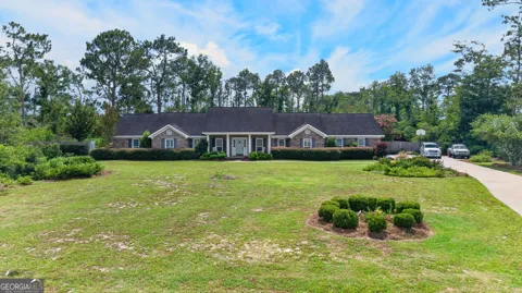
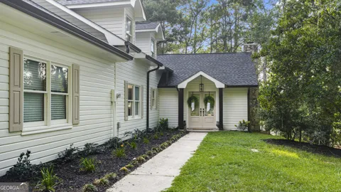
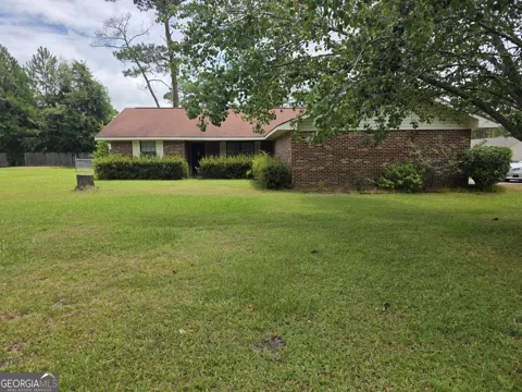
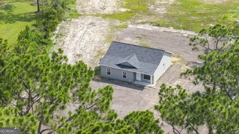
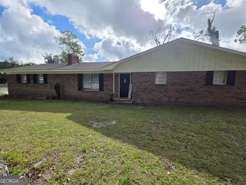
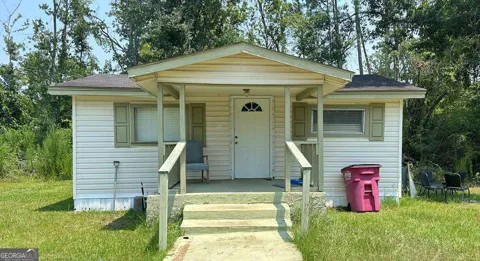
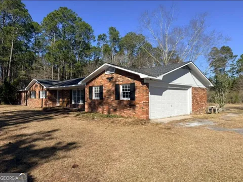
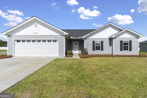
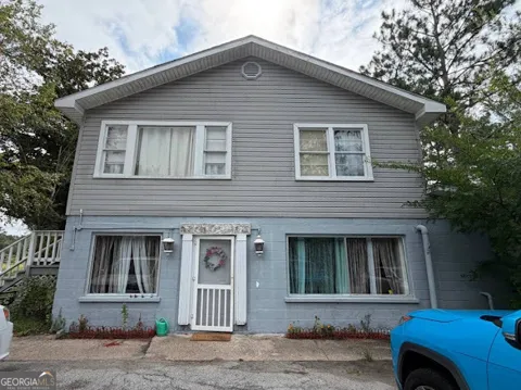
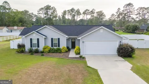
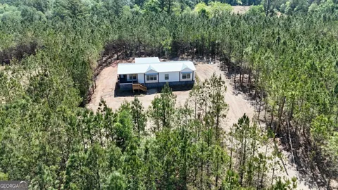
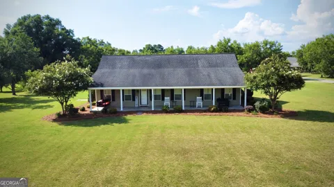
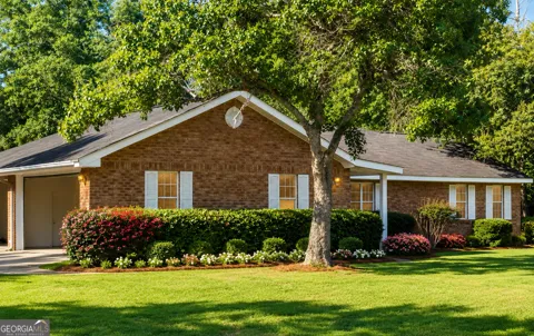
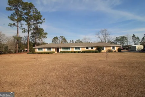
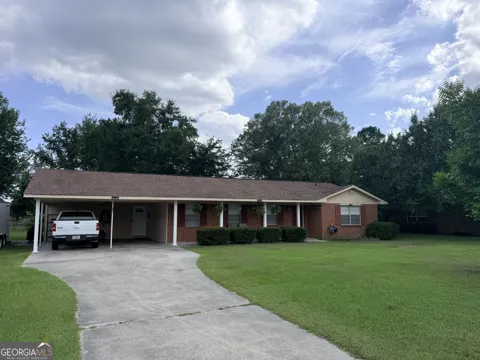
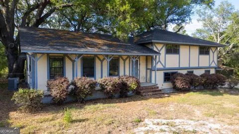
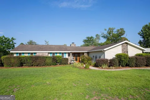
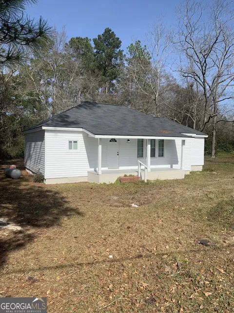
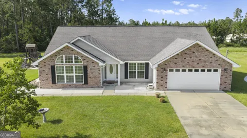
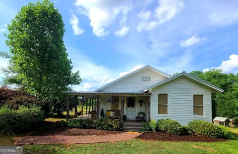
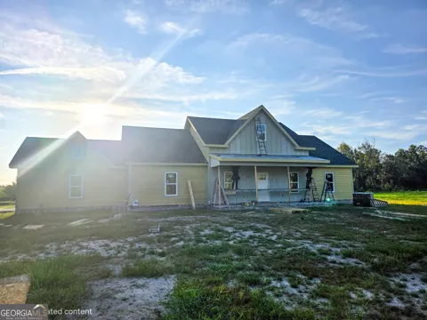
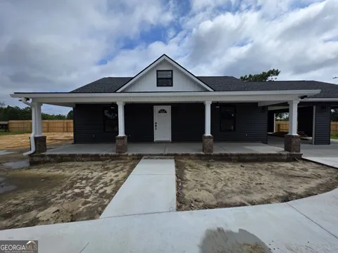
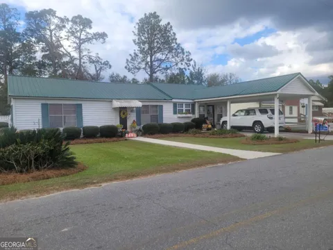
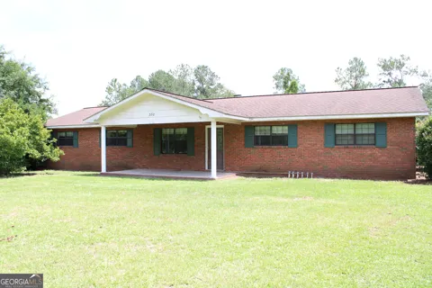
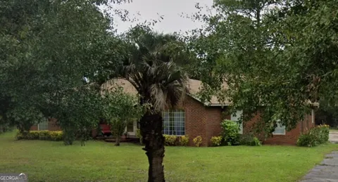
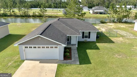
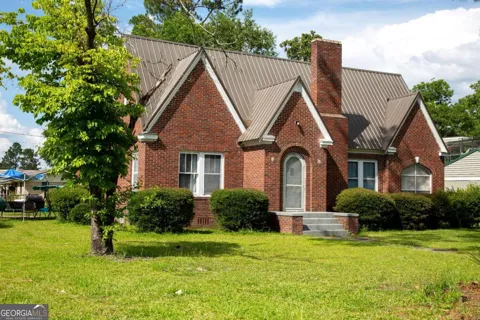
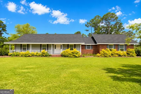
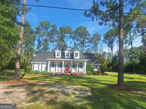
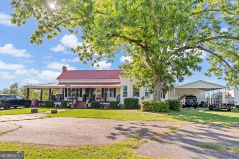
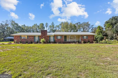
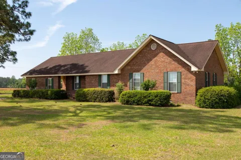
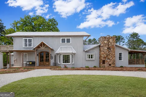
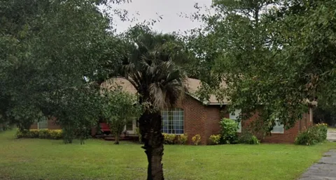
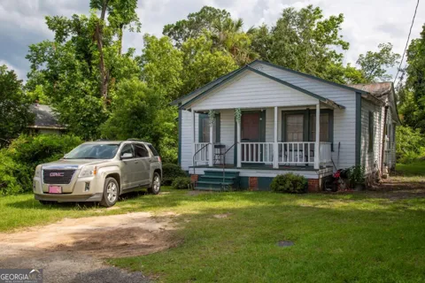
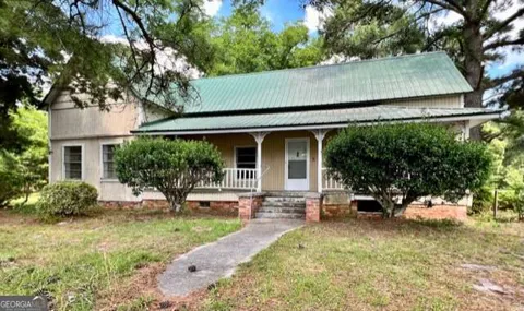
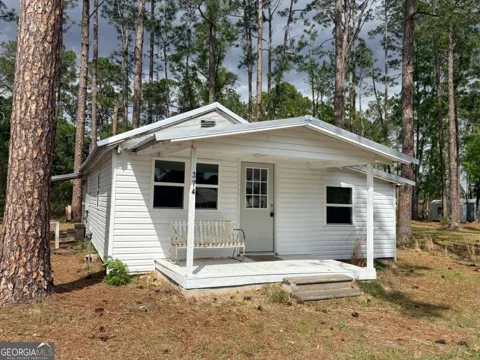
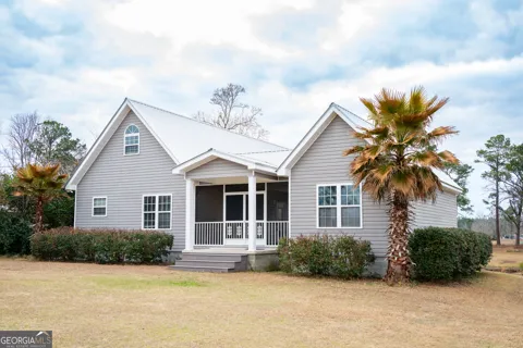
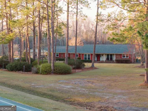
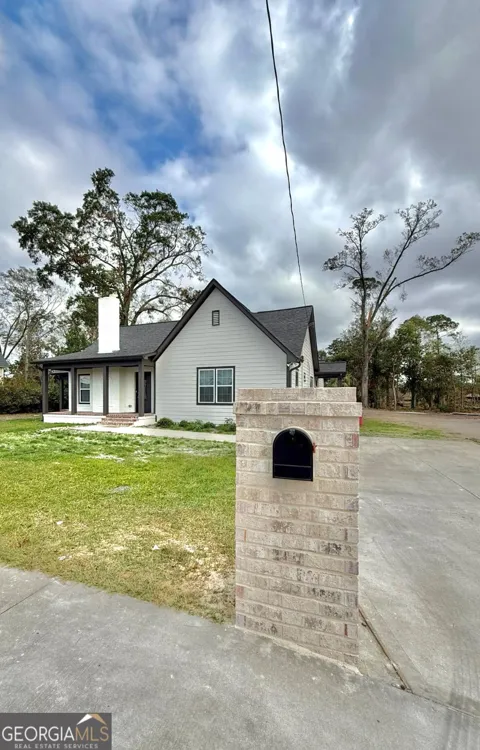
Housing in Baxley is predominantly single-family and modestly scaled, reflecting the city's role as a rural county seat. The stock includes older homes near the downtown and courthouse, mid-century ranch houses, and newer construction on the city's edges, with larger rural acreage available in the surrounding timber and farm country. Homeownership rates are high, and the cost of housing is low compared with the state's metropolitan areas, drawing families and retirees seeking space and a slower pace.
Neighborhoods
Baxley is organized around its downtown and the Appling County courthouse, with residential neighborhoods radiating outward along the city's street grid. Older homes line the tree-shaded streets near the center, while subdivisions and newer homes occupy the city's perimeter. Beyond the city limits, the landscape opens into pine timberland and farmland, with scattered rural homesites. The community's neighborhoods reflect its long history as a county seat rather than rapid suburban growth.
Lifestyle in Baxley
Life in Baxley moves at a South Georgia pace, centered on church, school, and community events. The Appling County Recreation Department runs youth sports, and high school football at Jimmy Swain Stadium draws the community together in the fall. Residents rely on the city's shops, restaurants, and medical services as a regional hub. The Altamaha River, Moody Forest, and nearby lakes provide hunting, fishing, and paddling for outdoor enthusiasts.
Schools & Education
Public schools in Baxley are operated by the Appling County School District, which serves K-12 students through Appling County Elementary, Appling County Middle, and Appling County High School. The district also participates in Georgia's HOPE Scholarship program, which provides tuition assistance to qualifying graduates. Schools are a central part of community life, with athletics and other activities anchoring the local calendar.
Getting Around
Baxley sits along U.S. Route 1, which runs north–south through the city and connects it to the broader southeast Georgia region. U.S. Route 341 also serves the area, providing routes toward Brunswick and the coast. The Macon and Brunswick Railroad, which shaped the city's founding, still carries freight through the region. Most travel is by private vehicle, with regional airports and larger cities within a drive of the county seat.
Parks & Recreation
The Altamaha River is the centerpiece of outdoor recreation near Baxley, offering fishing, kayaking, canoeing, and wildlife viewing along one of the East Coast's largest free-flowing rivers. Moody Forest Natural Area provides hiking and nature observation in a longleaf pine and bottomland setting. Lake Mayer and other local lakes support boating, swimming, and fishing, and the surrounding timberlands offer hunting and rural recreation.
MARKET SNAPSHOT
The Market at a Glance
How homes have been selling here over the last 90 days.
Price & Sales History
Market data reflects closed sales over the last 90 days and is provided for informational purposes.
Zip Codes
BROWSE BY ZIP
Browse listings by postal code in this area.
- Grid
- Map
- List